May 16
Weather forecast is predicting near record temperatures for the weekend. Interested in what that would do to the snow, I went for a look and see.
Flagstaff, rutted and frozen in the morning
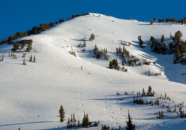
Entered Cardiff via Little Superior ne facing. There was a crowd headed up for a run down the south side.
Second run was Cardiac ridge. Supportable to marginally, with descent. Freeze wasn't that deep and it was quickly heating by 9:30 am.
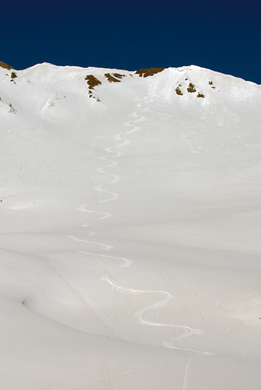
Took another run from the top of Superior, skier's right chute. Damp powder for a few turns, did produce some good sized rollers.
Mid to lower were supportable. Second pitch was marginal.
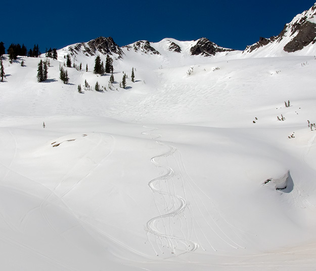
Descended south facing Cardiff bowl to Alta guard station. Well consolidated, with a damp surface.
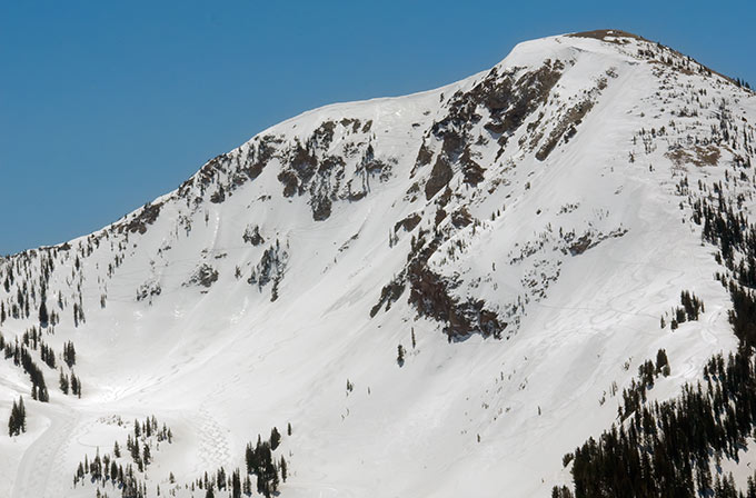
Alta's Baldy, from Cardiff bowl.
Snow:
Recent wet activity was limited to rollers below rockbands on shady upper elevation north facing and a few point releases, mainly on east facing, beginning in the rocks.
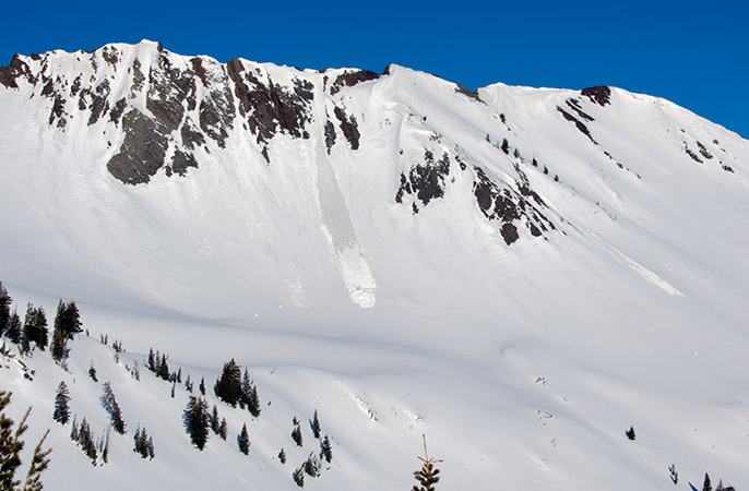
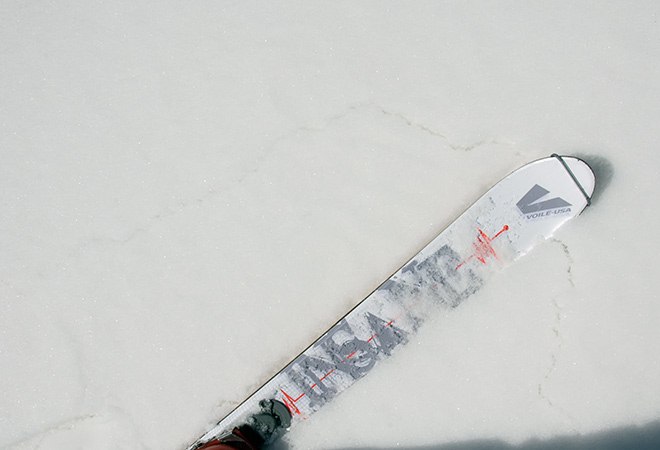
I was getting localized cracking and collapsing below about 9500' on the ascent to Cardiac ridge and the ascent to the bowl.Above that elevation, east facing was more supportable. North facing was also supportable, with a few inches of damp powder capping.
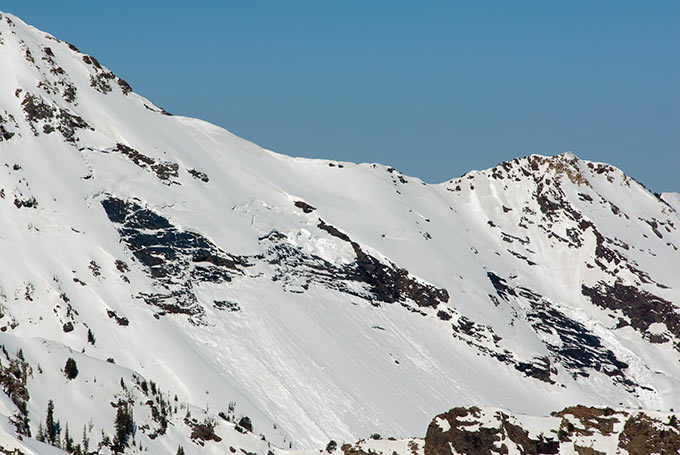
Doesn't look like any further glide activity in Broads, since late last week.
Evaluation:
Snow received a good, though short lasting overnight freeze. Northwest facing was probably skiable into the afternoon. Weather forecast indicates clear skies, with a low temperature at the base of Alta, 41°. The next few days have temperatures increasing, with a forecast high of 70°+ for Sunday and Monday.
I'd expect a few shallow wet slabs, particularly below 10k, based on the collapsing. Elevations above 9500' will be experiencing the first warm up in a coupla weeks. Deep slide potential is unknown. May see further glide slides by Monday or Tuesday.
© wowasatch.com